1965 Aerial (1)
1965 Aerial (2)
Croydon Canal route: Honor Oak Park to Brockley
-
will greenwood
- Posts: 352
- Joined: 14 Jan 2008 23:45
- Location: moorlinch
-
will greenwood
- Posts: 352
- Joined: 14 Jan 2008 23:45
- Location: moorlinch
first reaction to those aerials....
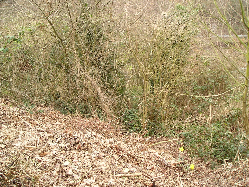
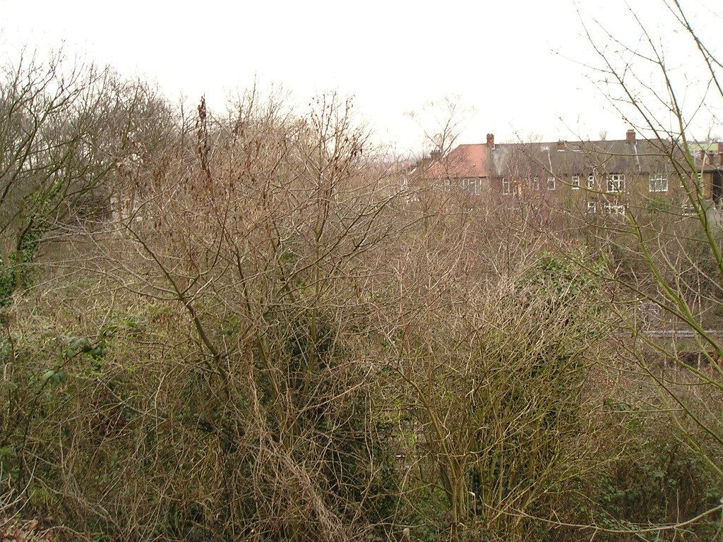
the railway cutting has hardly changed since the days of the canal...only the low land by dead lane bridge...so theres no sign of any breach to that scarp.
the line of the embankment is visible in the persistant hedge row along the tennis court...
the flat area between the hedge and the cutting really does seem tiodenote the canal route...
more to follow when i've had a good look.
-
will greenwood
- Posts: 352
- Joined: 14 Jan 2008 23:45
- Location: moorlinch
heres a bit of info from the people at the nature reserve at devonshire road...
'The soil of the embankments is sort of interesting, as it was largely brought in by the rail workers. In Dev Rd there is a lot of pure chalk, probably from the Downs, and the flora has a lot of chalk grassland components. The other side of the tracks in Garthorne is more acidic, apparently a lot of brick rubble. I did hear there was once a brickworks nearby, don’t know if you have come across that?'
interesting they needed spoil from the north downs...
and also interesting that they are adding rubble to the eastern bank...banking, not cutting, in fact.
-
will greenwood
- Posts: 352
- Joined: 14 Jan 2008 23:45
- Location: moorlinch
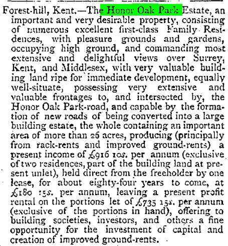
heres a property ad from the daily News, May 22nd 1882
Last edited by will greenwood on 10 Feb 2008 16:17, edited 1 time in total.
-
will greenwood
- Posts: 352
- Joined: 14 Jan 2008 23:45
- Location: moorlinch
-
will greenwood
- Posts: 352
- Joined: 14 Jan 2008 23:45
- Location: moorlinch
Still, hold it down for now though; you get me?  Have to wait until the time is just right!
  *Falkor looks through his telescope again* o_O
BTW, I'm sure there's a company that specialises in aerial photography from early 20th C. I saw the company name and address on the back of some other early aerials for different towns; should have made a note of the details silly me.
BTW, I'm sure there's a company that specialises in aerial photography from early 20th C. I saw the company name and address on the back of some other early aerials for different towns; should have made a note of the details silly me.

-
will greenwood
- Posts: 352
- Joined: 14 Jan 2008 23:45
- Location: moorlinch
-
will greenwood
- Posts: 352
- Joined: 14 Jan 2008 23:45
- Location: moorlinch
5...4...3...2...1........................................................0
View hi-res...
This cost me £5, you know? But it was worth it!
View hi-res...
This cost me £5, you know?
-
Steve Grindlay
- Posts: 606
- Joined: 4 Oct 2004 05:07
- Location: Upper Sydenham
Was there a bridge at the top of Courtrai Road? This map, of 1914, doesn't show it:
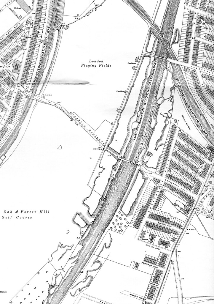
It shows Brockley Footpath, an ancient field path from Brockley Green to Nunhead, but nothing of the Courtrai Road path, apart from a gap in the embankment (which still exists) near the present crematorium.
Oh dear. Of course there was a bridge. I posted this message at 12:45 am, so you could have been forgiven for thinking I was a little "tired and emotional", and perhaps I was.
Last edited by Steve Grindlay on 23 Feb 2008 13:03, edited 2 times in total.
-
will greenwood
- Posts: 352
- Joined: 14 Jan 2008 23:45
- Location: moorlinch
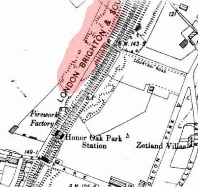
Yes, across both the canal and railway. It can be seen on the 1833 map and hi-res aerial view.Was there a bridge at the top of Courtrai Road?
This is about the time the Courtrai Road bridge was demolished (it looks like bricks are already missing in the photo), so maybe we can narrow the date down to 1914. I had a similar problem with the 1914 map when checking an area in Southend Village; to cut a long story short, the map was probably surveyed after 1913 instead of 1912. The previous map should show the bridge. I'm starting to think the original archivist was probably correct with their information, and Will has the correct viewpoint (southwest). You can see the fencing running along the bank, right? Well, in the hi-res view, one can make out that same fencing this side of the railway, and it shows 5 horizontal beams to match.This map, of 1914, doesn't show it:
-
will greenwood
- Posts: 352
- Joined: 14 Jan 2008 23:45
- Location: moorlinch
its marked on this map...(I cant remember the date, sadly...but I got it from Steves earlier post)
Its the Dead lane bridge, where there was a bridge over lock 22 of the canal...the lane appears to have originally veered north and headed for Nunhead.
the map clearly shopws the small vale that the lane passed through...an area of much landsacping as it is now the south end of the crematorium.

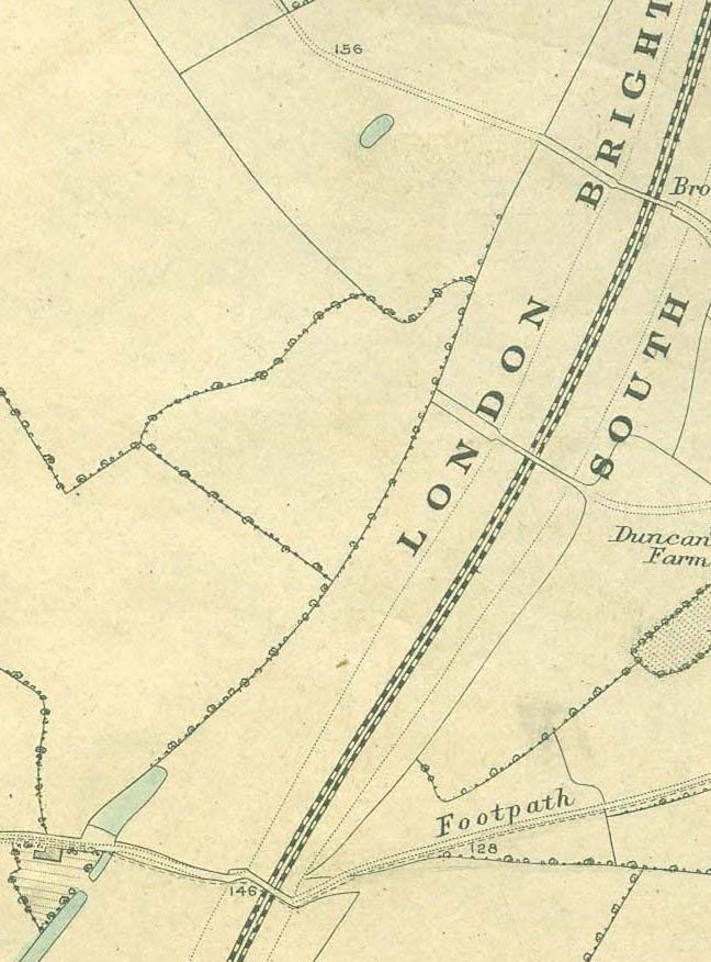

Its the Dead lane bridge, where there was a bridge over lock 22 of the canal...the lane appears to have originally veered north and headed for Nunhead.
the map clearly shopws the small vale that the lane passed through...an area of much landsacping as it is now the south end of the crematorium.
-
will greenwood
- Posts: 352
- Joined: 14 Jan 2008 23:45
- Location: moorlinch