...I'm sure it is directly connected with the canal.
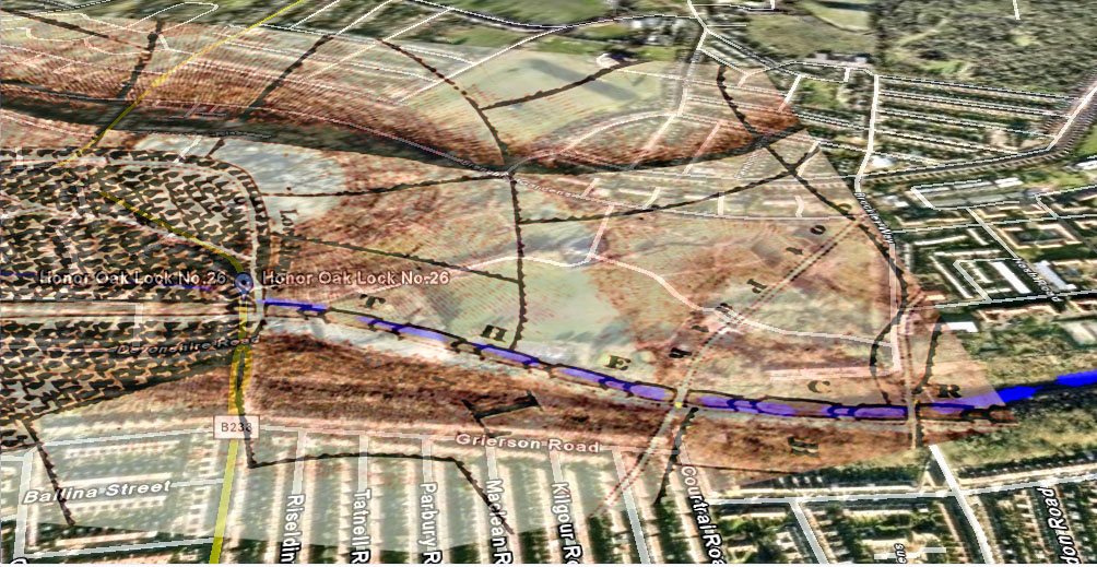
also...you can see the lock chambers marked, with hatcching...
i'm gradually being swayed back to a route that just touches the corner of the flats at brockley mews...and teh overlays and measurements totally work out...
the canal on google earth is over twice as wide as it should be...(something to amend later)
you are very quick to say things are wrong...but that would suggest the roads are mapped right but the canal remnants arent...
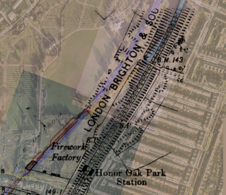
the canal at lock 25 meets the hedge at the edge of the firework factory...the line of the embankment followed the line of the projected canal from there.......
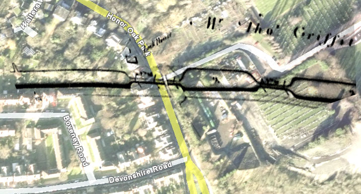
you can see worn paths at the points where the locks were in both pictures...
in fact...your overlay also agrees with this!
I really dont think it worth ignoring the accuracy of the OS map over the estate maps...
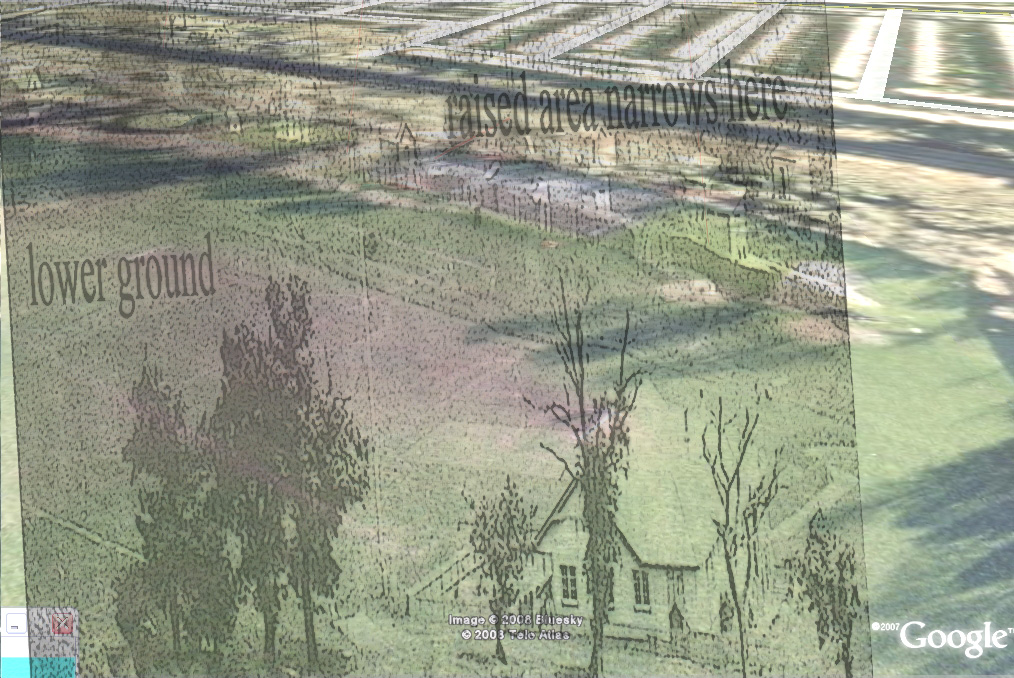
heres a rough overlay of the pavilion, and google earth from the same point.....
http://farm3.static.flickr.com/2130/223 ... 7415_o.jpg
...and if the canal isnt here, next to the embankment...for at least locks 25 - 23...well, where exactly would it be??
I agree it may go more east after the break in the 2 canal maps( lock 23) but it has to be connected up to that point.
in fact..your recent overlay agrees with this!:roll:


