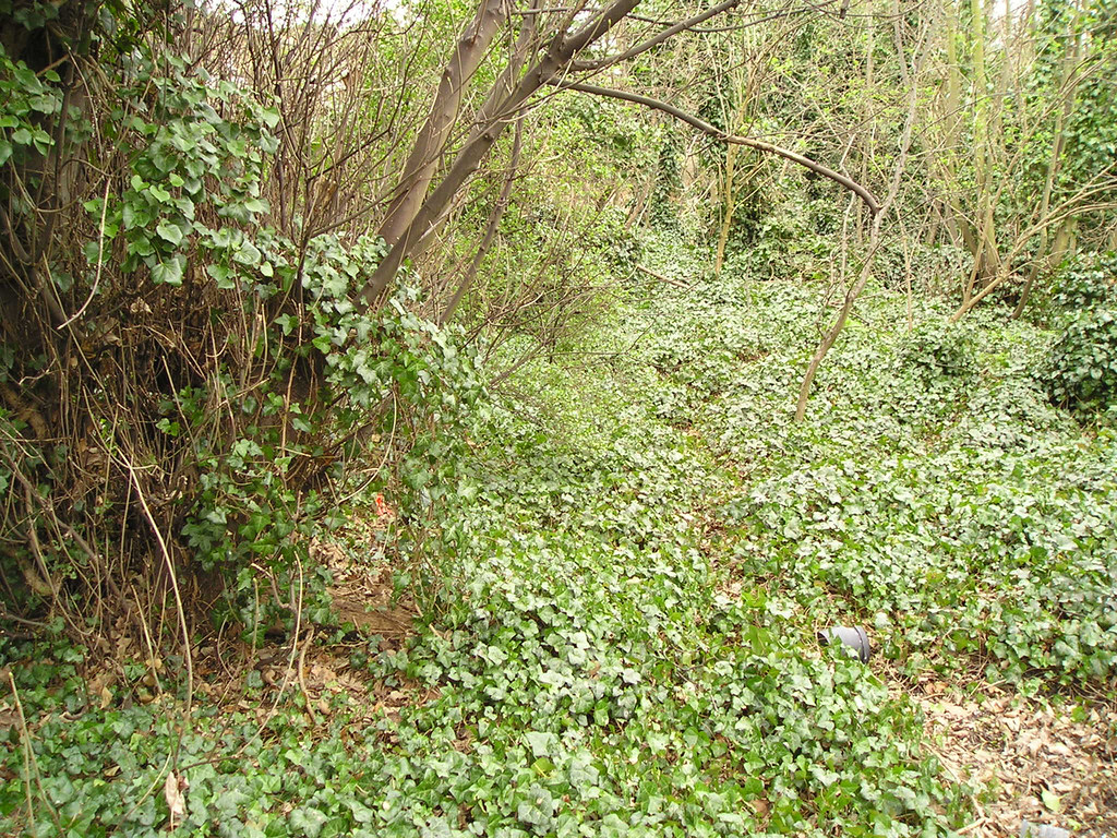
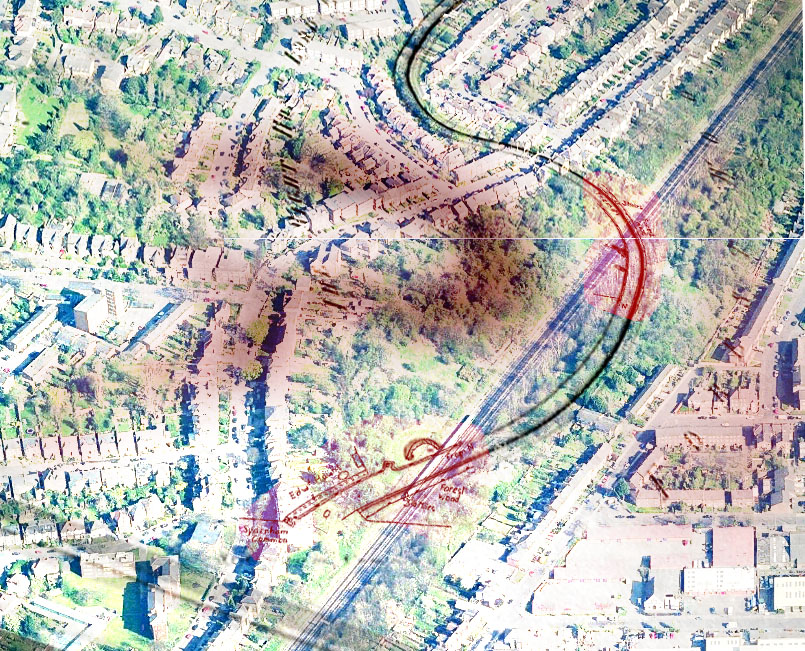
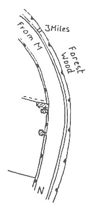
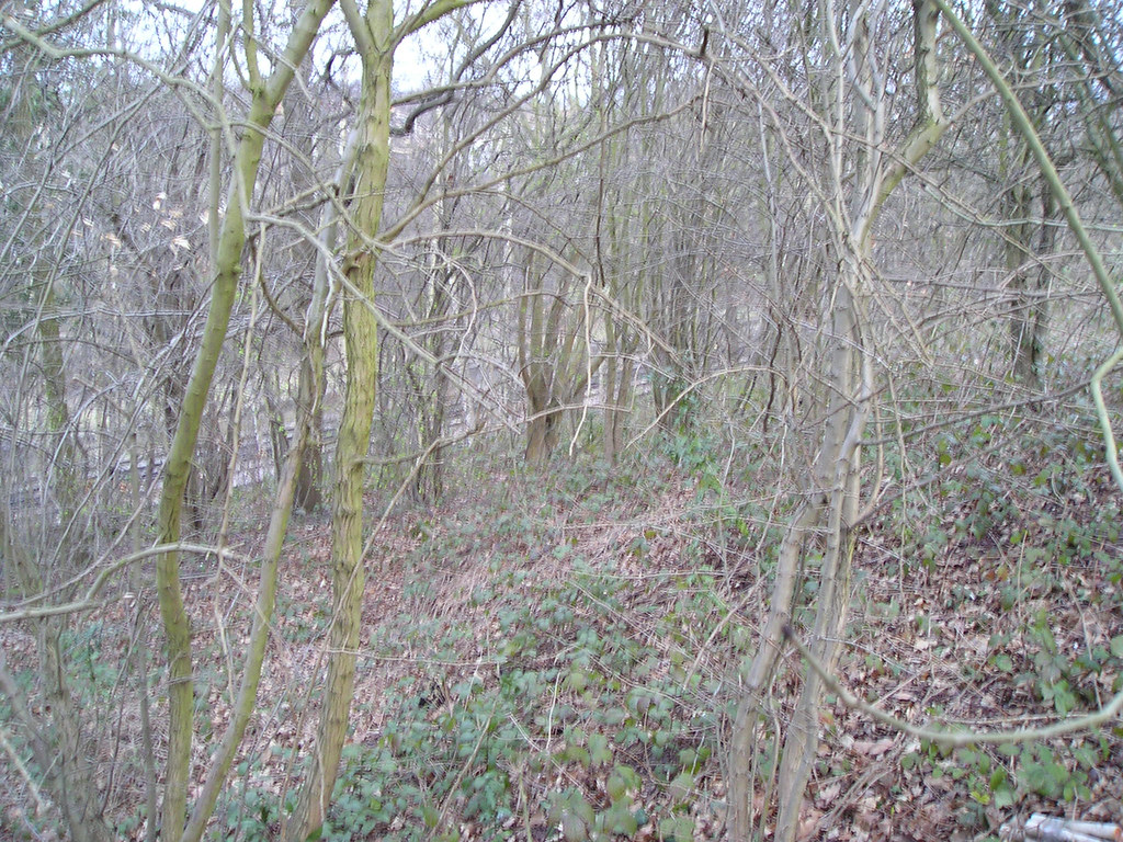
I went to Garthorne Rd nature reserve hoping to find some small speck of evidence of what I thought may be the Croydon Canal towpath.
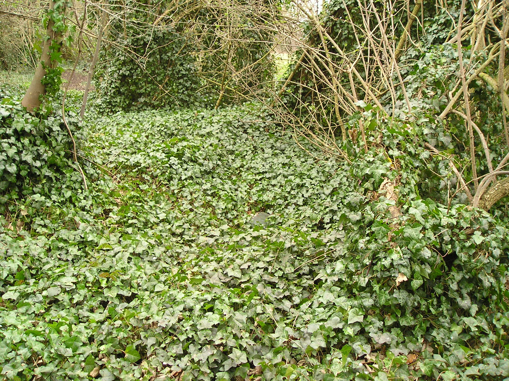
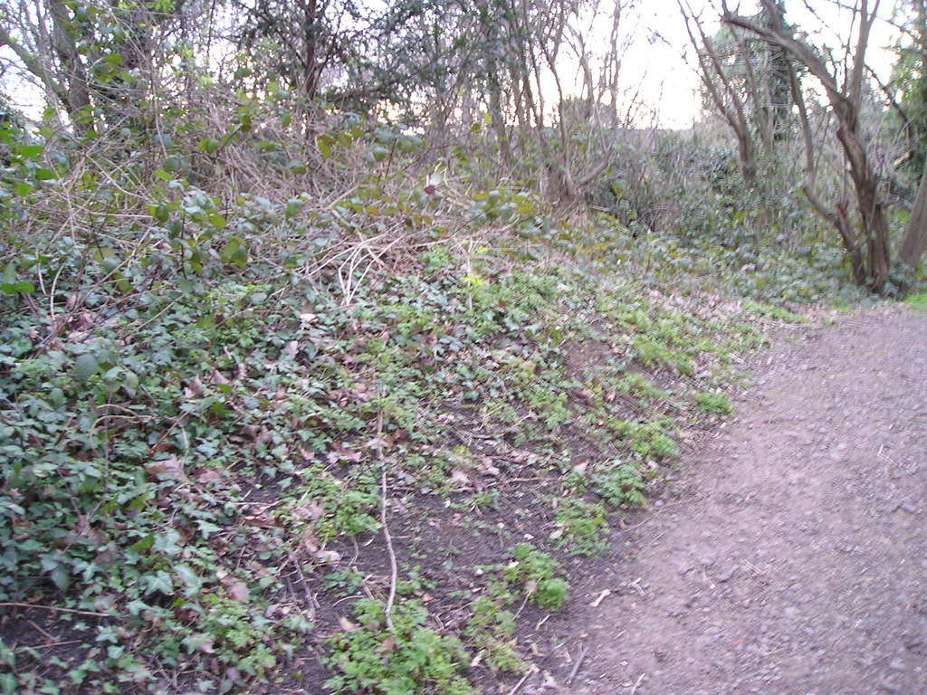
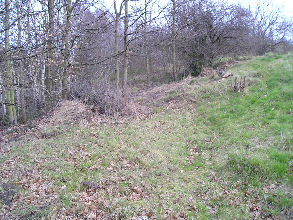
Almost immediately the path cut through a low bank
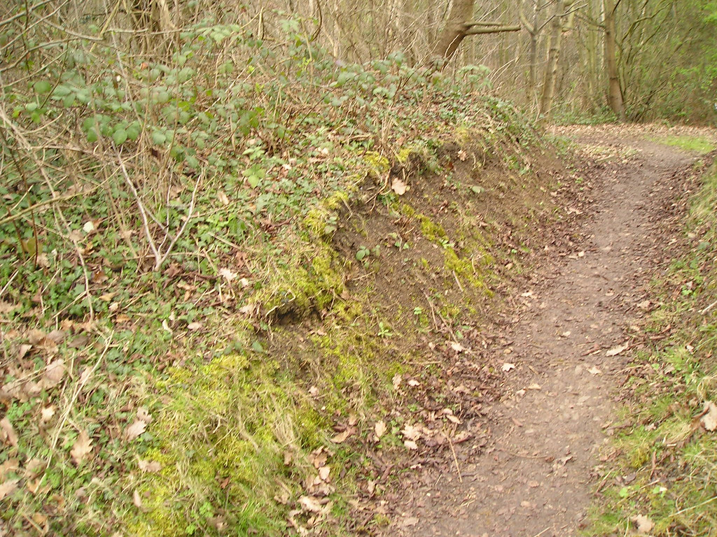
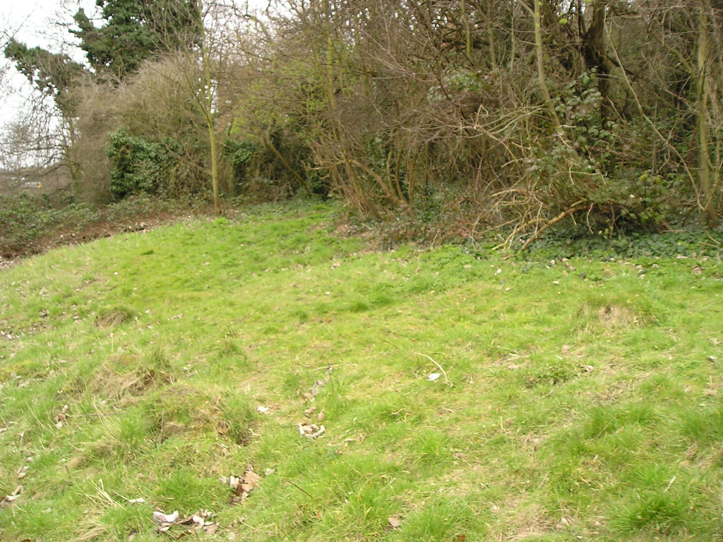
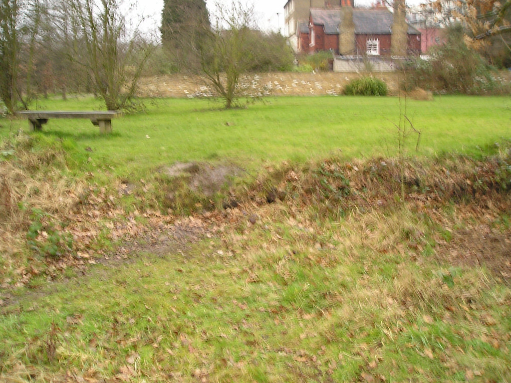
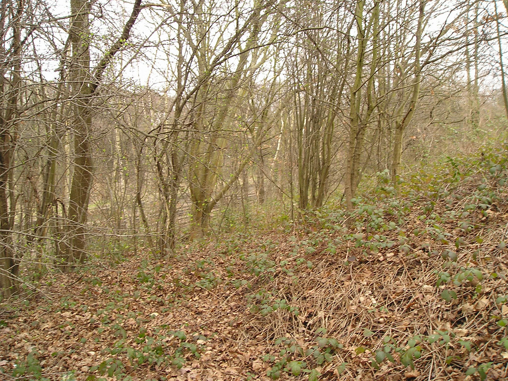
Passing through and looking back to the east
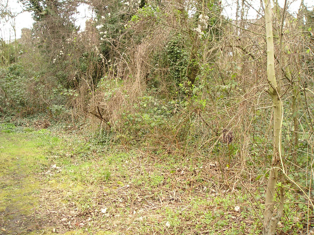
..the bank reveals itself as curved, running north – south and following perfectly the known course of the canal.
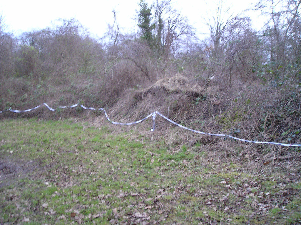
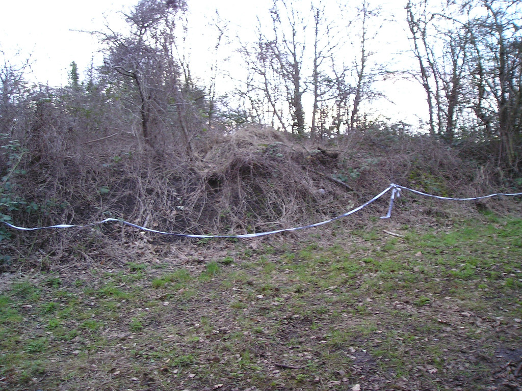

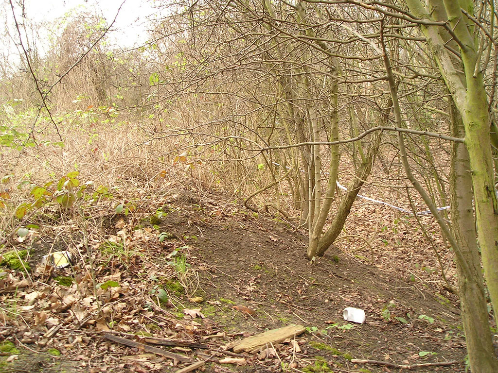
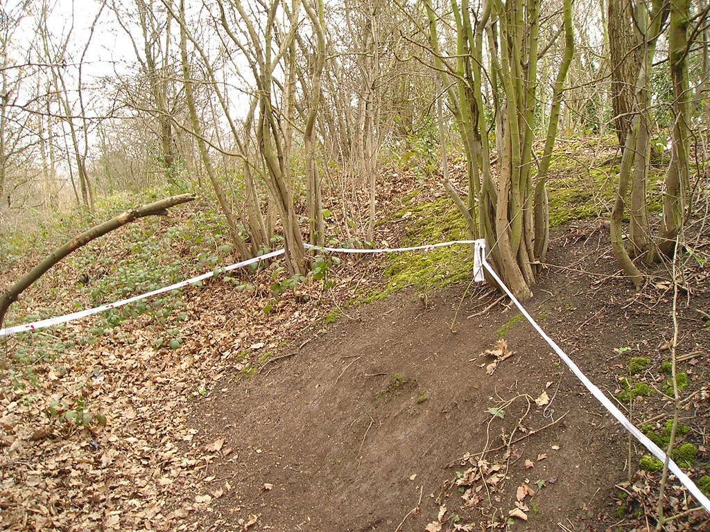
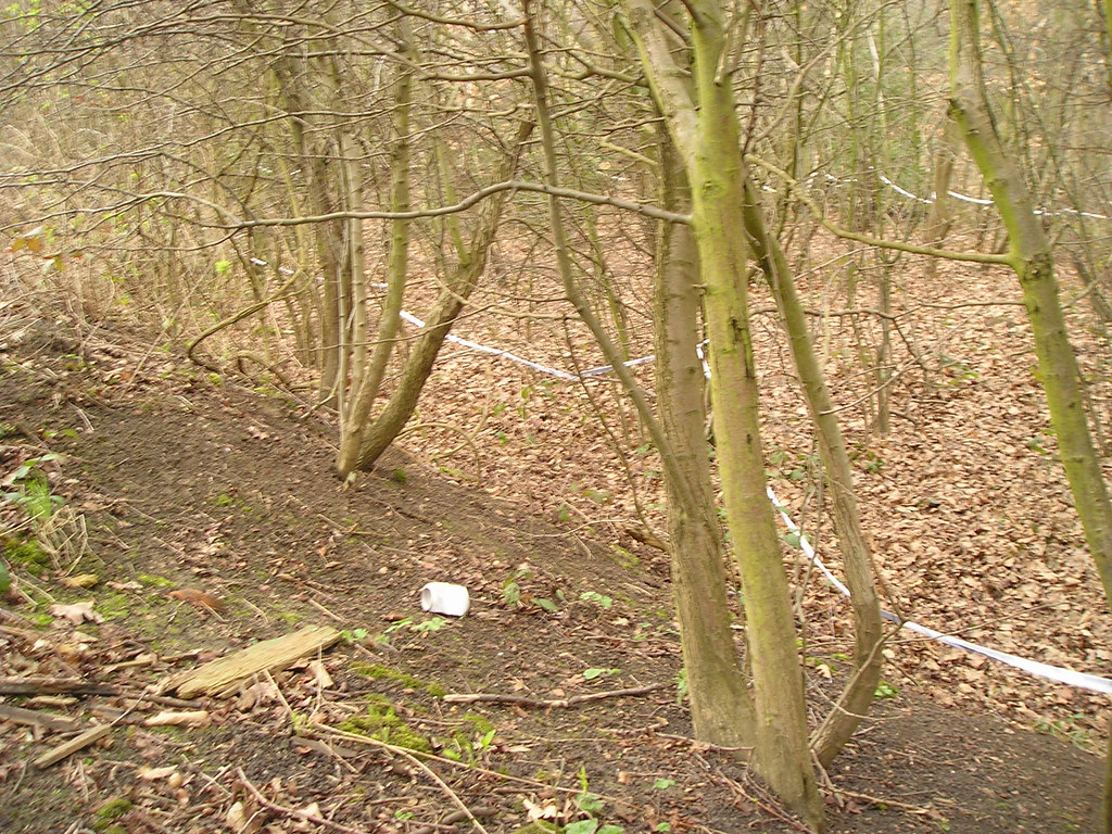
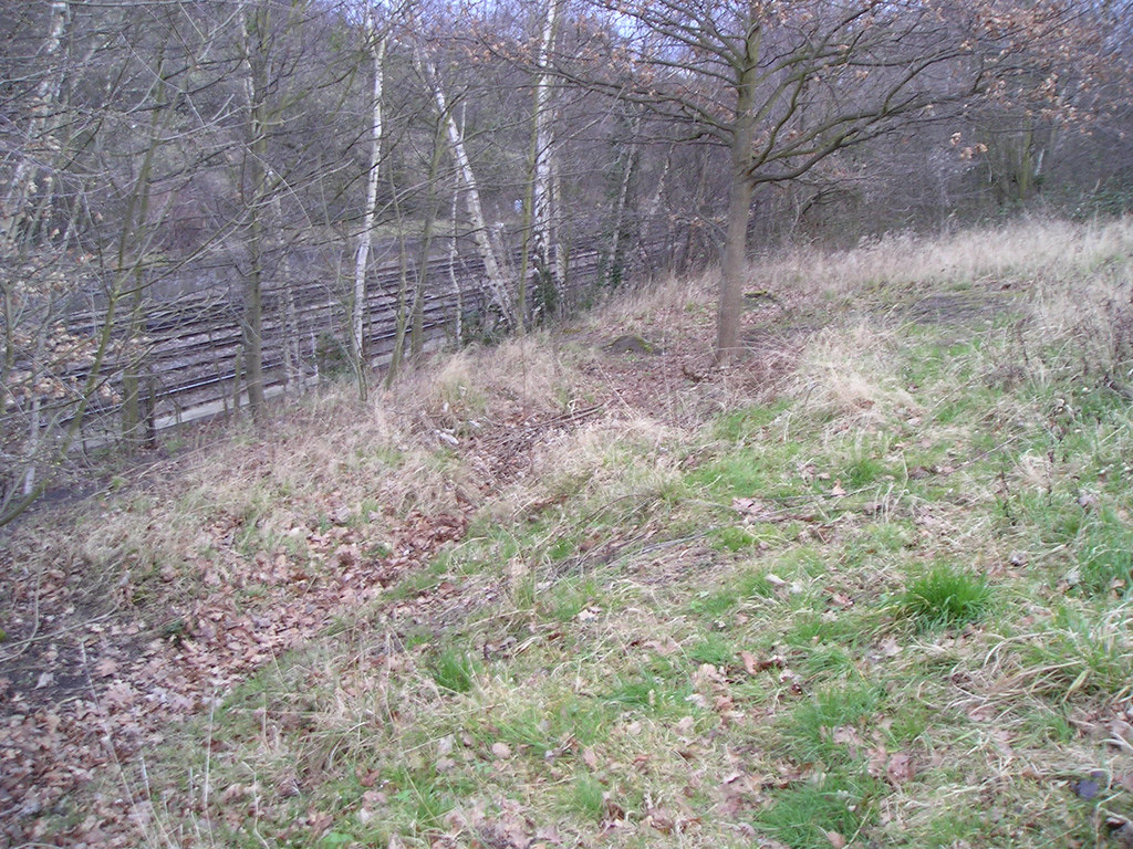
The white tape, part of a school nature project, I believe, conveniently hints at the approximate level and shape of the canal, seen from the towpath…
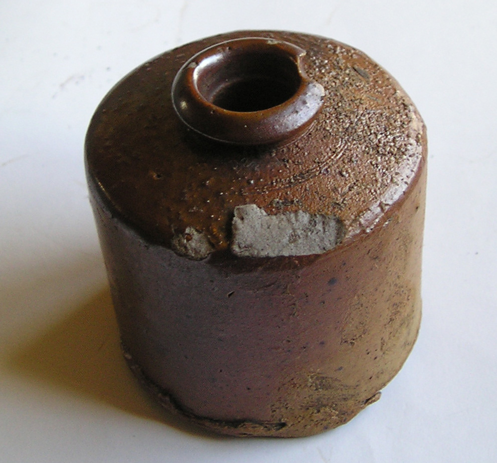
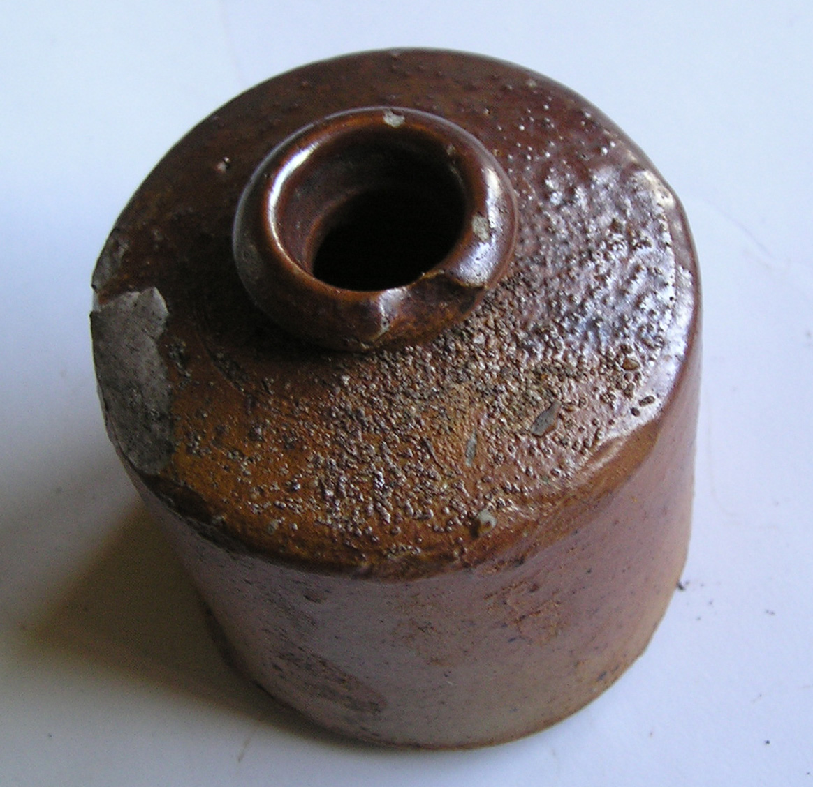
(it was here that I kicked up this early 19th century salt glazed pot, apparently IN the canal…approx 2 inches high)
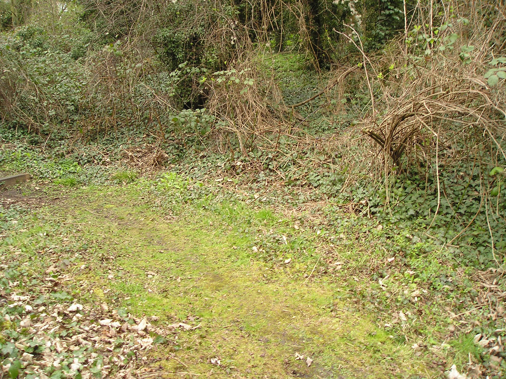
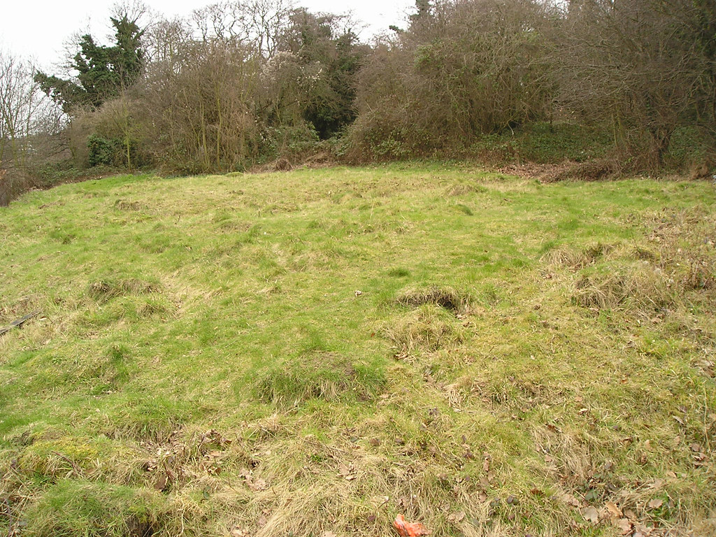
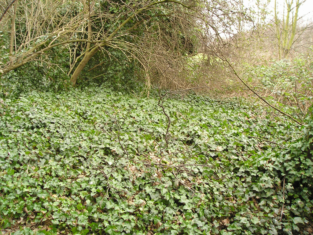
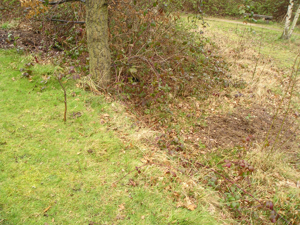
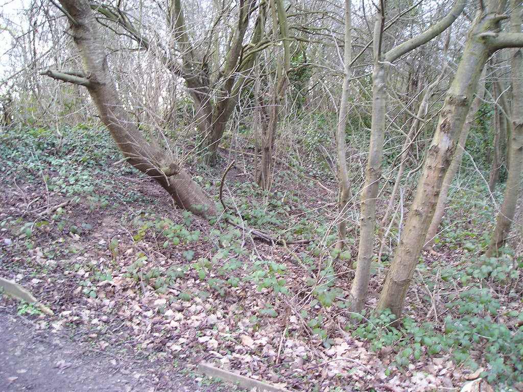
The Bank is lower on the eastern side than it is on the west;
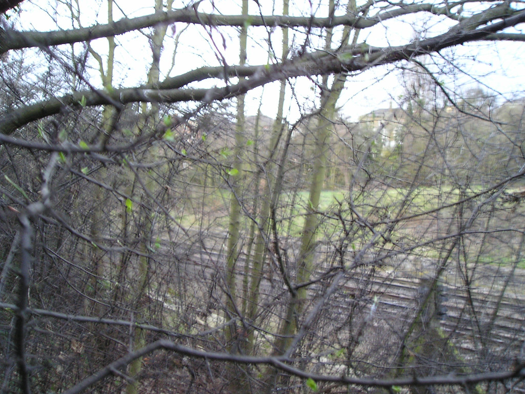
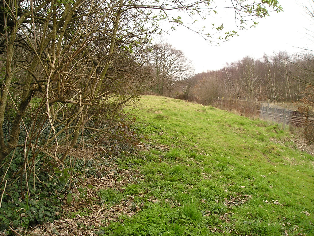
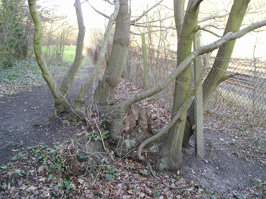
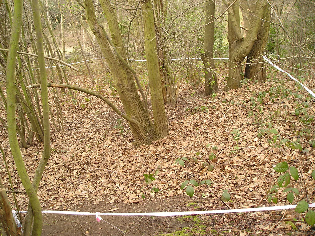
The towpath remnants peeter out at the north end as the canal looped round into what is now the cutting
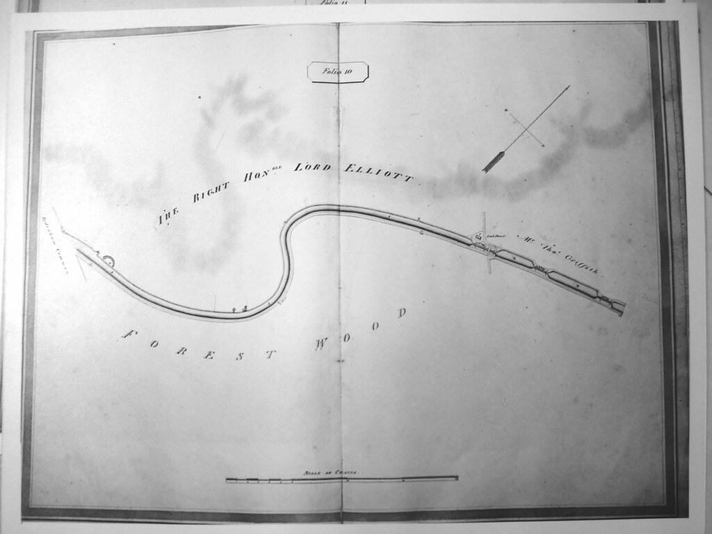
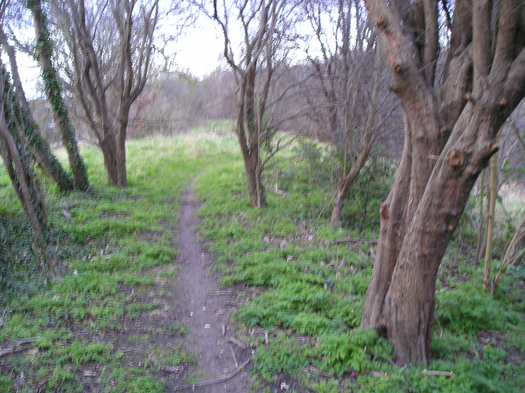
The canal hen looped back southwards to the area above the steps on the far side, then continuing west towards Hengrave rd
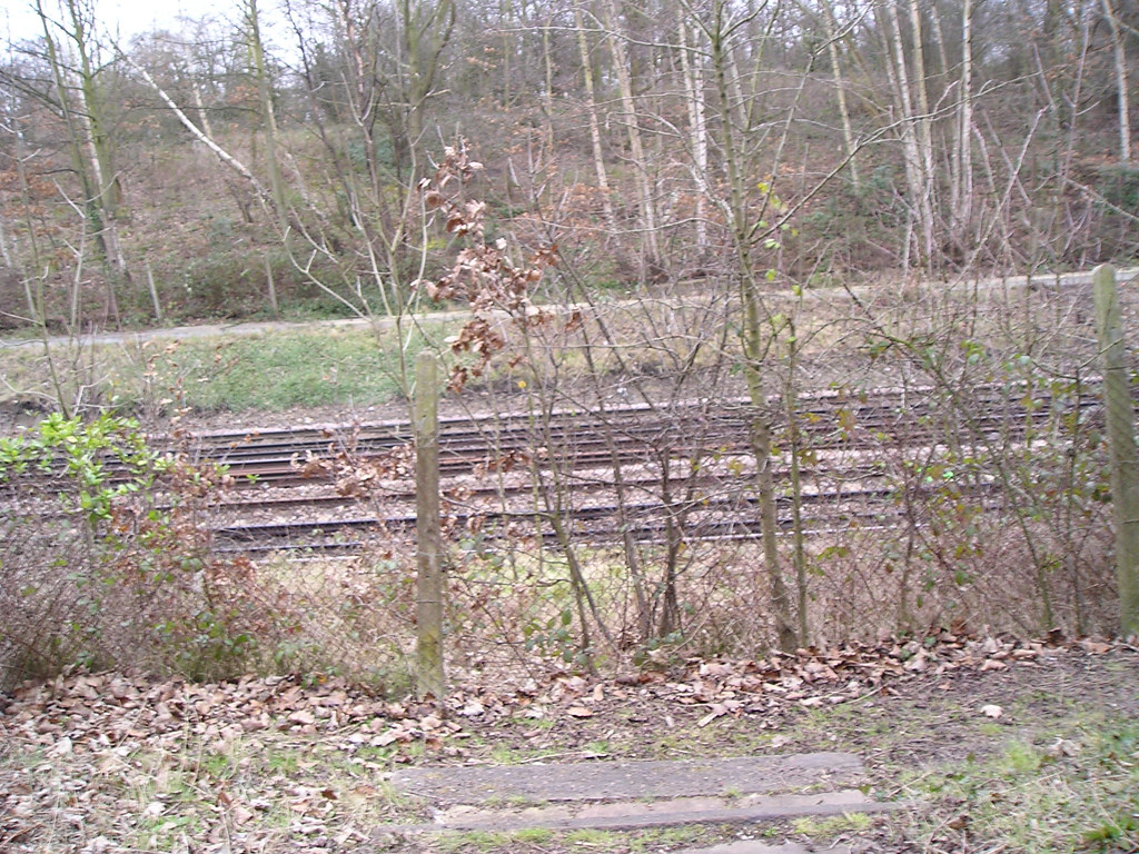
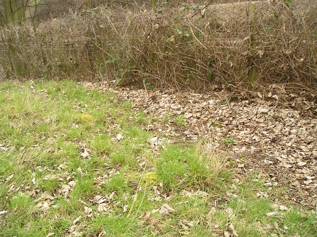
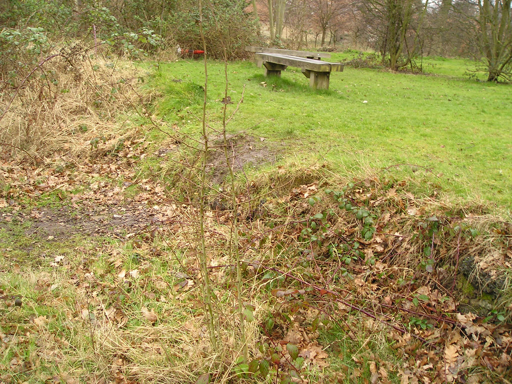
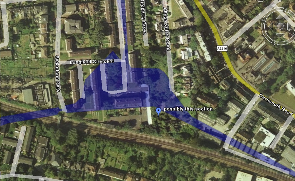
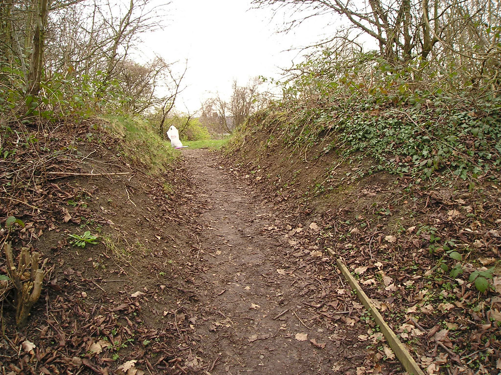
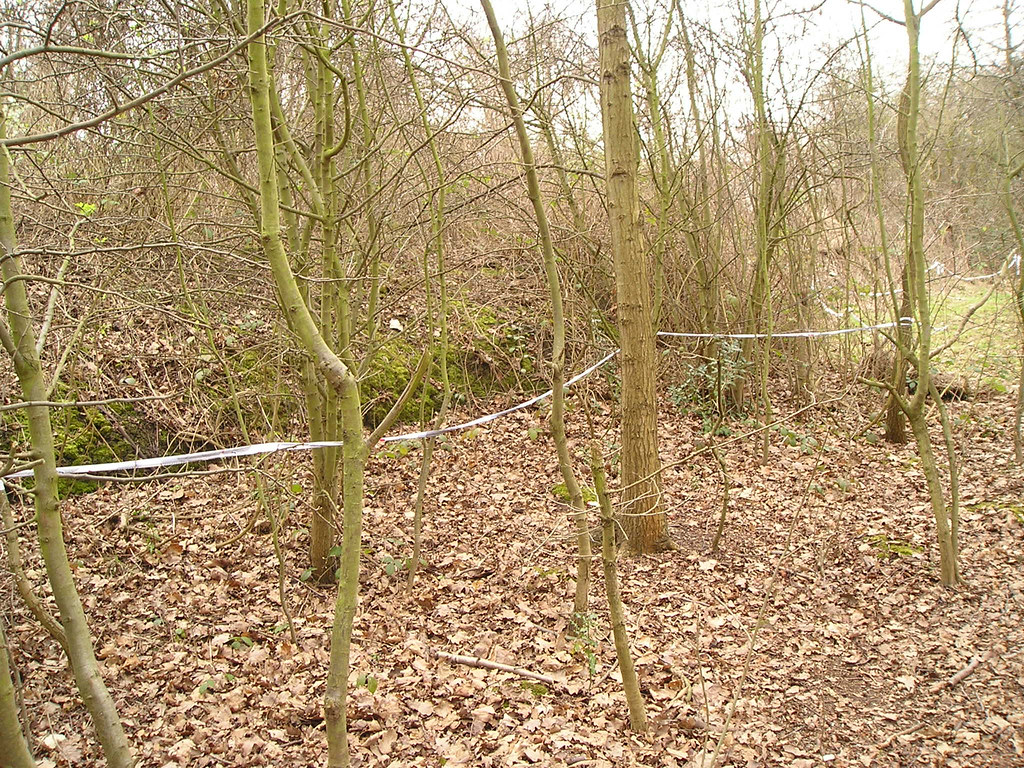
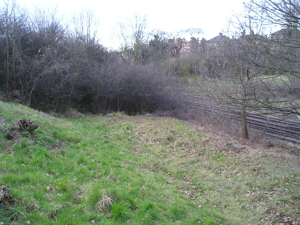
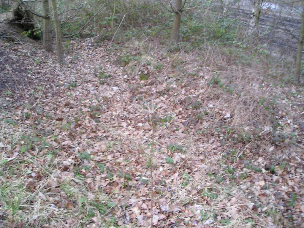
Heading South, now, from the path cutting through the bank, as the natural ground meets more and more of the cutting, the towpath becomes more indistinct, and harder to follow
There are, however some tantalising linear features that appear to follow the right course a it curves towards the cutting
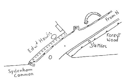
It crossed here, towards Howels wharf…(remember, the ground was pretty even across here at the time)